"Forget Winter": Unseasonable Warmth Settles Over Belarus, Forecast to Linger
Unseasonably warm weather has taken hold in Belarus in late November, bringing rain, thaw and melting snow, with forecasts suggesting that sustained frost and winter landscapes are not on the horizon for the coming days.
Meteorologists attribute the regional weather pattern to an «atmospheric dipole»—a large-scale system involving a low-pressure area over Eastern Europe and a high-pressure zone to the west.
«With this configuration of the baric field, we’ll have a ‘shish’ [nothing], not winter,» the popular weather blog Nadvorie figuratively commented on the situation in its Telegram channel.
According to the Belhydromet state weather service, on Thursday, November 27, temperatures will range from slightly negative values in the northwest (-1°C) to record-high levels for this time of year in the southeast, where thermometers are expected to climb to +9°C. Cloudy weather with rain and/or sleet will prevail across most of the country.
Naturally, the warm air mass is eroding the established snow cover. According to data from the weather resource «Meteovibe,» the snow depth in Minsk has already decreased to 8 centimetres due to the thaw.
«Judging by long-term forecasts, we won’t see such snow depth numbers again anytime soon,» a statement from the service noted.
What to Expect in the Coming Days
Forecasters predict that the warm and unstable weather will persist at least until December 4-5, meaning it will extend into the first days of the calendar winter. The current detailed Belhydromet forecast for the next three days is as follows:
· Friday, November 28: Cloudy with clear spells. Precipitation is unlikely. Temperatures at night -4..+2°C, during the day -2..+4°C.
· Saturday, November 29: The return of cloudiness and precipitation—rain and sleet. Daytime temperatures will range from -1°C in the northwest to +7°C in the southeast.
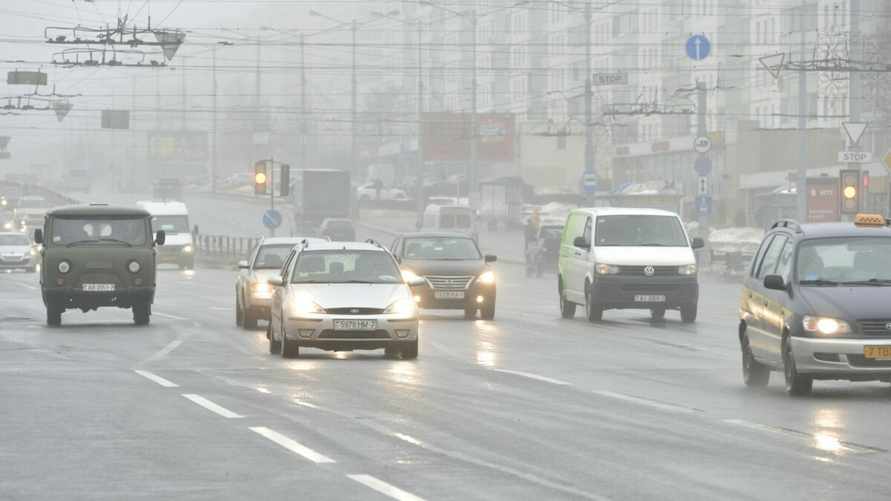
The main hazards during this period will be the now-familiar icy surfaces, patchy fog, and slippery roads.
Consequently, hopes for wintery conditions are being postponed, giving way to an anomalously warm and damp atmosphere. However, as always, the most accurate forecasts are for the immediate 2-3 days ahead.